Directional Maps
Create directional maps quickly using online editable templates and graphics collections
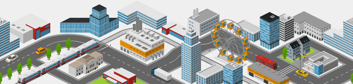
What you can create using Icograms Designer
The purpose of such map is to help your visitors to find you.
Using Icograms Designer you may create directional map for your building, store, venue. Make your visitor happy, not frustrated.
Map can be saved in vector SVG formation, suitable for printing in brochures, city lights, magazines.
How to work with Icograms Designer
You can start your project from scratch or customize one of our templates.
To get started from scratch
- Open Icograms Designer
- Drag and drop icons to the work area
- Utilize clone tools and copy/paste functions to increase efficiency
- Move, resize, and recolor icons to find the best solution
- Add text and symbols to enhance your design.
- Upload your own graphics if needed
- Export the created graphics
To get started from a template
- Choose a suitable template
- Drag and drop additional graphics if necessary
- Insert your own text using text boxes
- Customize your design by changing colors, fonts, and icons
- Upload your own graphics if needed
- Export the created graphics
Directional Maps related Templates


