3D (Isometric) Maps
Create 3D 2:1 icometric maps using online editable templates and docking graphic blocks
What you can create using Icograms Designer
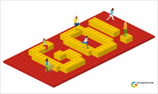
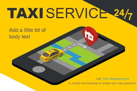
With Icograms Designer and predefined set of icons you may design city map that looks like 3D. Result may be saved as raster image for website or presentation, or in vector format for printing.
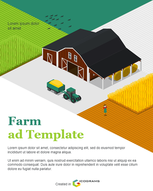
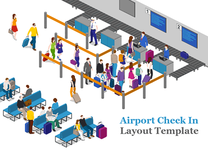
Rich palettes of icons include various soils and backgrounds, roads, buildings, street forniture, people, vehicles and symbols. Beside these there are icons for farms and rural area, warehouse, factory and power stations. Also it includes icons for indoor objects.
The city illustration may be used as:
- Illustration for book or comics
- Landing page illustration
- Guide for festival, fair, outdoor event
- Smart City illustration with high level of details
- Arrival maps for college, school, campus, event, airport, port
- Directional map to guide to your visitors
How to work with Icograms Designer
Get started from scratch
- Open Icograms Designer
- Drag and drop icons to work area
- Use clone tools and copy/paste to speed up
- Move, resize and recolor to find the best solution
- Add text and symbols
- Upload your own graphics if needed
- Download created graphics
Get started from template
- Choose a Template suitable for you
- Drag and drop additional graphics if needed
- Insert your own data using text boxes
- Change colors, fonts and icons to customize your design
- Upload your own graphics if needed
- Download created graphics


